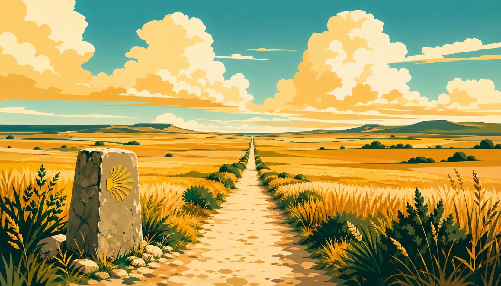
Camino Francés (French Way)
780km pilgrimage route in France / Spain
Distance
780km
Duration
30 days
Difficulty
Challenging
Certification
Compostela
Start → End
Saint-Jean-Pied-de-Port → Santiago de Compostela
Planning Snapshot
Distance
780km
Typical duration
30 days
Average day
~26km/day
Difficulty
Challenging
Best months
April–October
Certificate minimum
100km walking
Lodging density
High
Resupply
Easy
Access
Train or bus to Saint-Jean-Pied-de-Port from Bayonne (TGV from Paris). Fly into Biarritz (BIQ) or Pamplona (PNA).
Is this route a good fit?
Best for
First-timers & community
Time commitment
30 walking days at about 26km/day
Lodging and resupply
High lodging · Easy resupply
Why use Sacred Trails
Offline stages, waypoint stories, lodging notes, and route context stay available when mobile signal drops.
Rough Distance Planner
Use this as a rough distance sketch before detailed planning: 30 walking days across 780km, averaging about 26km per day. Adjust for real stages, terrain, rest days, weather, opening seasons, and lodging availability before booking.
Daily target
26km
Route style
High lodging · Easy resupply
| Day | Distance | Total | Route / lodging reference | |
|---|---|---|---|---|
| 1 | Walk | 26km | 26km | Roncesvalles · Roncesvalles (1 listed stays) |
| 2 | Walk | 26km | 52km | Larrasoana · Zubiri (1 listed stays) |
| 3 | Walk | 26km | 78km | Alto del Perdon · Pamplona (2 listed stays) |
| 4 | Walk | 26km | 104km | Cirauqui · Pamplona (2 listed stays) |
| 5 | Walk | 26km | 130km | Los Arcos · Pamplona (2 listed stays) |
| 6 | Walk | 26km | 156km | Viana · Pamplona (2 listed stays) |
| 7 | Walk | 26km | 182km | Navarrete · Burgos (1 listed stays) |
| 8 | Walk | 26km | 208km | Santo Domingo de la Calzada · Burgos (1 listed stays) |
| 9 | Walk | 26km | 234km | Belorado · Burgos (1 listed stays) |
| 10 | Walk | 26km | 260km | San Juan de Ortega · Burgos (1 listed stays) |
| 11 | Walk | 26km | 286km | Burgos · Burgos (1 listed stays) |
| 12 | Walk | 26km | 312km | Hornillos del Camino · Hornillos del Camino (1 listed stays) |
| 13 | Walk | 26km | 338km | Castrojeriz · Hornillos del Camino (1 listed stays) |
| 14 | Walk | 26km | 364km | Villalcazar de Sirga · Hornillos del Camino (1 listed stays) |
| 15 | Walk | 26km | 390km | Calzadilla de la Cueza · Hornillos del Camino (1 listed stays) |
| 16 | Walk | 26km | 416km | Sahagun · Hornillos del Camino (1 listed stays) |
| 17 | Walk | 26km | 442km | Mansilla de las Mulas · Ponferrada (1 listed stays) |
| 18 | Walk | 26km | 468km | Leon · Ponferrada (1 listed stays) |
| 19 | Walk | 26km | 494km | Hospital de Orbigo · Ponferrada (1 listed stays) |
| 20 | Walk | 26km | 520km | Astorga · Ponferrada (1 listed stays) |
| 21 | Walk | 26km | 546km | Cruz de Ferro · Ponferrada (1 listed stays) |
| 22 | Walk | 26km | 572km | Cacabelos · Ponferrada (1 listed stays) |
| 23 | Walk | 26km | 598km | Villafranca del Bierzo · Ponferrada (1 listed stays) |
| 24 | Walk | 26km | 624km | Triacastela · Ponferrada (1 listed stays) |
| 25 | Walk | 26km | 650km | Sarria · Ponferrada (1 listed stays) |
| 26 | Walk | 26km | 676km | Portomarin · Ponferrada (1 listed stays) |
| 27 | Walk | 26km | 702km | Palas de Rei · Ponferrada (1 listed stays) |
| 28 | Walk | 26km | 728km | Arzua · Ponferrada (1 listed stays) |
| 29 | Walk | 26km | 754km | O Pedrouzo · Ponferrada (1 listed stays) |
| 30 | Walk | 26km | 780km | Santiago de Compostela · Ponferrada (1 listed stays) |
| Total days | 780km | 30 | ||
Distances are averaged. Route markers use the nearest ordered waypoint to each rough segment; lodging references are supporting town data, not recommended overnight stops or confirmed availability.
Five Regions, One Ancient Road
The 780km Camino Francés unfolds across five distinct regional characters — from the brutal opening climb over the Pyrenees to the final emotional approach into Santiago.
Pyrenees & Navarra
km 0–199Navarra · Difficulty ★★★★★
“The mountain crossing that breaks you open — and the albergue that puts you back together”
- ·Napoleon Route over the Pyrenees (1,430m) — clouds below, silence above
- ·Roncesvalles collegiate church pilgrim blessing — given nightly since the 12th century
- ·Pamplona's medieval walls and bull-run culture (San Fermín, July)
La Rioja & Castile
km 199–500La Rioja / Castilla y León · Difficulty ★★★☆☆
“Wine fountains, wheat fields, and the Hill of Forgiveness”
- ·Irache wine fountain — free Rioja red, flowing 24/7 since 1991
- ·Alto del Perdón iron silhouette sculpture — pilgrims cast in steel against the sky
- ·Burgos Cathedral (UNESCO) — Gothic masterpiece begun in 1221, tomb of El Cid
The Meseta
km 500–650Castilla y León · Difficulty ★★☆☆☆
“The plateau where silence becomes deafening and the Camino becomes philosophical”
- ·Vast treeless plateau — 150km of sky and wheat, a horizon that never arrives
- ·León Cathedral — 1,800m² of stained glass (Gothic), nicknamed 'the House of Light'
- ·Cruz de Ferro (Iron Cross) — leave a stone from home, let go of what you carry
El Bierzo & The Mountains
km 650–720El Bierzo / Galicia · Difficulty ★★★★☆
“The last mountain crossing — and the first breath of Galicia”
- ·Astorga's Gaudí Bishop's Palace — fairytale Gothic beside the Roman walls
- ·O Cebreiro mountain village (1,300m) — often in clouds, chalice of the Holy Grail legend
- ·Las Médulas Roman gold mines (UNESCO) — surreal red-rock landscape carved by ancient hydraulic mining
Galicia
km 720–780Galicia · Difficulty ★★☆☆☆
“Green valleys, eucalyptus forests, and the spires appearing at last on the horizon”
- ·Monte do Gozo (Hill of Joy) — first view of Santiago's towers, pilgrims traditionally race to see first
- ·Pilgrim Mass at the Cathedral (12:00 daily) — nationalities called out, tears flow freely
- ·Botafumeiro — the giant incense burner swung in a 65m arc across the nave
About the Route
The Camino Francés is the world's most walked medieval pilgrimage route, drawing pilgrims since the 9th century when the tomb of St. James was discovered beneath the hills of Galicia. Beginning with the dramatic crossing of the Pyrenees, it traverses the vast silence of the Meseta plateau before descending into the lush valleys of Galicia. What sets it apart is the living community of the Camino — the camaraderie forged in albergues, the shared exhaustion and joy, the multinational family that forms and dissolves with each passing day. A modern pilgrim walking the Francés discovers not just a path across Spain, but an ancient mirror in which the questions carried from home are slowly, irreversibly, transformed.
Key Waypoints
Saint-Jean-Pied-de-Port
0km from start · 170mFor nine centuries, pilgrims have squeezed through the Porte Saint-Jacques, the last French gate before the Pyrenees. Medieval kings, Franciscan friars, and Charlemagne's soldiers all began the same climb from this Navarrese frontier town, today the most-used Camino starting point in the world.
Pamplona
68km from start · 449mCapital of the Kingdom of Navarre for five centuries, Pamplona's massive star-shaped walls — still intact — were designed by Philip II's military engineers. Charlemagne razed the city in 778 CE; Alfonso I rebuilt it as a Christian stronghold. The Gothic Cathedral (14th c.) holds the alabaster tomb of Charles III of Navarre, and every July the city detonates into the San Fermín festival's eight-day bull run.
Los Arcos
136km from start · 444mSmall town with a disproportionately grand Church of Santa Maria, featuring a lavish Baroque interior and Gothic cloister.
Santo Domingo de la Calzada
214km from start · 638mCathedral with live chickens in a cage, commemorating the Miracle of the Hanged Innocent — a wrongly accused pilgrim survived hanging.
Hontanas
319km from start · 900mA hidden village that appears suddenly in a valley hollow after a long meseta stretch, earning its reputation as a magical oasis for tired pilgrims. The natural spring that gave the village its name still flows, offering cool water on hot days.
Sahagun
411km from start · 816mCalled the 'Cluny of Spain.' Birthplace of Mudejar brick architecture. Ruins of the great Benedictine Royal Monastery of San Benito.
Cruz de Ferro
538km from start · 1505mIron Cross at 1,504m, the highest point on the Camino Frances. Pilgrims leave a stone from home — a pre-Christian tradition of releasing burdens.
Sarria
652km from start · 453mThe most popular starting point for pilgrims seeking the minimum 100km required for the Compostela certificate — the town is exactly 111km from Santiago. The medieval old town climbs a steep hill crowned by the 13th-century Monastery of La Magdalena. The Romanesque Church of O Salvador and the castle tower are important monuments. Sarria marks a noticeable increase in fellow pilgrims on the trail.
58 waypoints total · Sacred Trails app contains full detail for every waypoint.
Points of Interest
Fuente de Roncesvalles
· waterSourcePotable fountain near the monastery
Farmacia Roncesvalles
· pharmacyBasic supplies, blister kits
Restaurante La Posada
· foodPilgrim menu 10 EUR. Open 12-22h
WC Roncesvalles Monastery
· toiletFree, inside monastery complex
Fuente de Zubiri
· waterSourceStone fountain at town entrance
Bar Zubiri
· foodBreakfast from 7am. Bocadillos
Accommodation
Town lodging summary
8 listed staysPamplona
2 stays
Rates vary; record your own price notes.
Roncesvalles
1 stay
Rates vary; record your own price notes.
Zubiri
1 stay
Rates vary; record your own price notes.
Burgos
1 stay
Rates vary; record your own price notes.
Hornillos del Camino
1 stay
Rates vary; record your own price notes.
León
1 stay
Rates vary; record your own price notes.
Ponferrada
1 stay
Rates vary; record your own price notes.
Albergue de Peregrinos de Roncesvalles
Roncesvalles
Rate varies
183 beds
Albergue Municipal de Zubiri
Zubiri
Rate varies
Albergue Jesús y María
Pamplona
Rate varies
Albergue Casa Paderborn
Pamplona
Rate varies
Albergue Casa del Cubo
Burgos
Rate varies
Albergue de Peregrinos de Hornillos del Camino
Hornillos del Camino
Rate varies
Albergue del Convento de las Carbajalas
León
Rate varies
Albergue Parroquial San Nicolás de Flüe
Ponferrada
Rate varies
Data source
Gronze.com (community-maintained)
Lodging data is sourced from Gronze.com, a community-maintained database of Camino accommodation. Prices, availability, and seasonal closures change — always verify directly with the accommodation before your trip.
Rates vary; use your own price notes and verify availability directly before your trip.
⚠️ Before You Go
Best avoid
July–August (extreme heat on the Meseta; albergues overcrowded)
Weather risk
Snow possible Nov–Mar on the Pyrenean crossing (Orisson → Roncesvalles); Meseta storms in spring
Mobile signal
Patchy signal in the O Cebreiro mountain section and some rural Galician stages
Cash
Small villages (Manjarin, Foncebadón) have no card readers — carry €30–50
Note
The Pyrenees crossing on Day 1 (25 km, +1,400 m) is the hardest single stage — acclimatise the day before in Saint-Jean
Recommended to carry
Navigate the Camino Francés (French Way) Offline
Stage-by-stage navigation, waypoint history, and lodging data — all offline in Sacred Trails. Free to download with route packs for the trails you walk.